


Mount Watatic offers Hiking, Bird Watching, and Great Views
- Visit North Central
By Chris Coyle
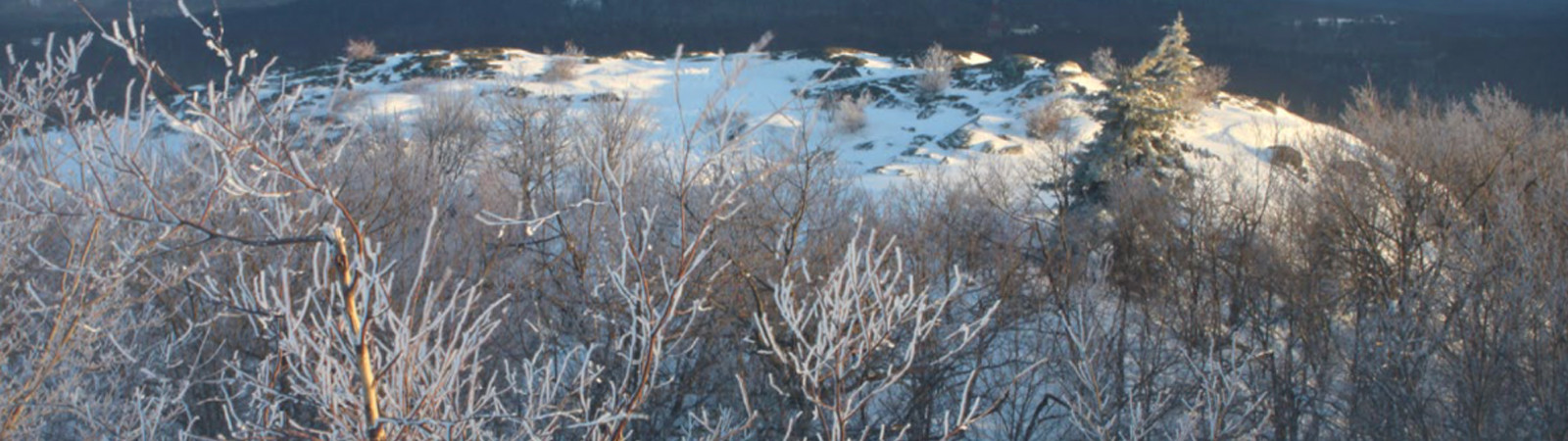
Featuring spectacular panoramic views across central New England, Mount Watatic makes a great place to enjoy colorful fall foliage, watch hawks, and hike during winter.
Mount Watatic rises as the southernmost peak of the Wapack Mountain Range, extending twenty miles to Peterborough, New Hampshire. Adjacent Nutting Hill’s 1,621-foot summit and rock ledges provide views of Wachusett Mountain in Princeton and Mount Watatic.
A network of properties owned by the Massachusetts Department of Conservation and Recreation, Massachusetts Division of Fisheries and Wildlife, and towns of Ashburnham and Ashby protects more than 3,650 acres of land around Mount Watatic. The trail network features two long-distance routes, 91-mile Midstate Trail and 22-mile Wapack Trail overlapping between the reservation entrance on Route 119 and the New Hampshire state line.
From the trailhead, Midstate and Wapack trails lead north past a beaver pond to the junction with State Line Trail, where a loop begins. For the most direct route to the summit of Mount Watatic, hikers continue on Midstate and Wapack trails, ascending moderately steep grades past outcrops, stone walls, and ledges. At 1.1 miles, they reach the 1,832-foot summit, second-highest peak in central Massachusetts after Wachusett Mountain. Stone supports mark the site of a former fire tower utilized from 1917 to 1996. A short path leads to scenic vistas at the lower summit.
On clear days, views extend 115 miles to Wachusett Mountain, the skyline of Boston, Mount Greylock and nearby Berkshire Hills, Green Mountains of Vermont, Mount Monadnock, northern Wapack Mountains, and numerous lakes and ponds. During early autumn, Mount Watatic offers one of New England’s best locations for watching migrations of raptors such as broad-winged hawks, bald eagles, sharp-shinned hawks, and osprey.
A longer and more gradual 1.7-mile ascent proceeds via Nutting Hill by following State Line Trail along a rocky old cart road for 0.4 miles. At a junction where State Line Trail branches left, hikers continue straight to the ridge, then turn right on Midstate and Wapack trails, heading south over Nutting Hill and through a low gap. Finally, they ascend past the former site of a ski area that operated from the 1930s to 1984 to the summit of Mount Watatic.
For a 2.8-mile outing with 700 feet in elevation gain, climbers combine Midstate, Wapack, and State Line trails as a circuit.
Extending the hike follows Midstate and Wapack trails north to the reservation boundary at the New Hampshire state line. In southern New Hampshire, Wapack Trail continues 1.5 miles to picturesque Binney Pond, centerpiece of a 550-acre wilderness preserve that provides habitats for moose, bobcats, and black bears. Pratt Mountain, approximately three miles north of Nutting Hill, has two overlooks with outstanding perspectives of Binney Pond, Mount Watatic, and Mount Monadnock.
South of Route 119, Midstate Trail traverses Fisher Hill, Blueberry Hill, and Mount Hunger to reach a great view of Mount Watatic and Stodge Meadow Pond at 4.4 miles.
The reservation entrance is on Route 119 in Ashburnham, 1.4 miles west of the intersection with Route 101, with overflow parking on Old Pierce Road.